Frequently Asked Questions: Florida Springs near Destin
How many natural springs are shown on the Florida Springs map?
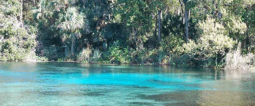
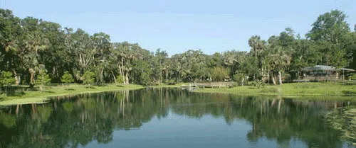
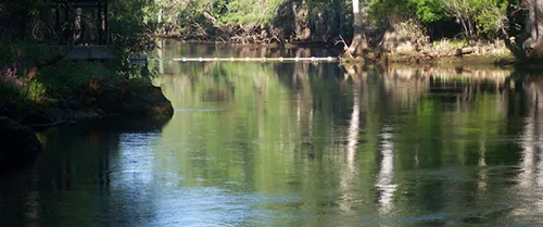
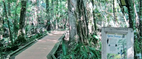
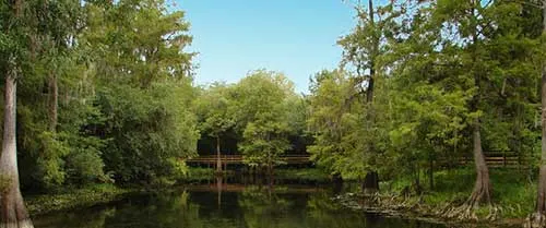
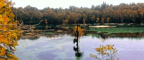
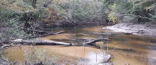
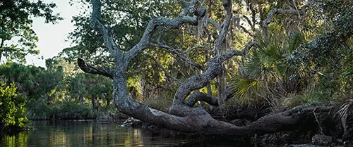
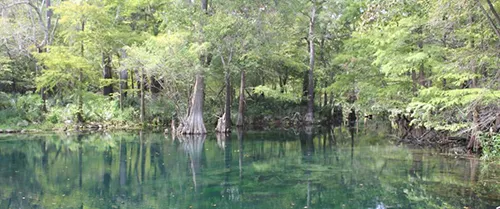
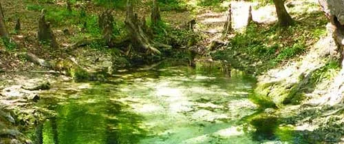
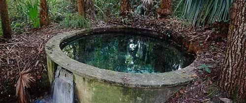
Florida has more than 1,000 identified freshwater springs ? the largest concentration in the world. Our interactive map covers all major visitor-accessible springs, with details on activities, facilities, water quality, and seasonal conditions. The state officially designates 30 Outstanding Florida Springs under the highest level of protection.
Can I filter the Florida Springs map by activity?
No you cannnot. Unfortunately we do not have the staff to keep current with all of the activities that are available based upon regular weather, inclimate weather and unpublished structural changes.
How do I find Florida springs near my current location?
You can user our city search feature on our interactive map to automatically show springs within your selected location. You can also navigate the map and zoom into your area
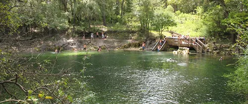
Are all Florida springs included on the interactive map?
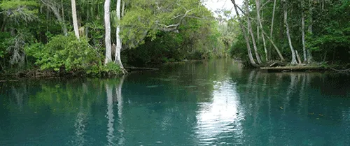
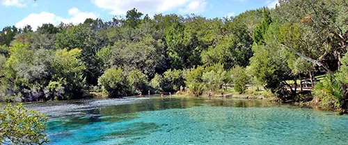
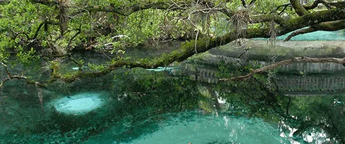
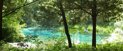
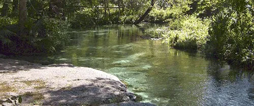
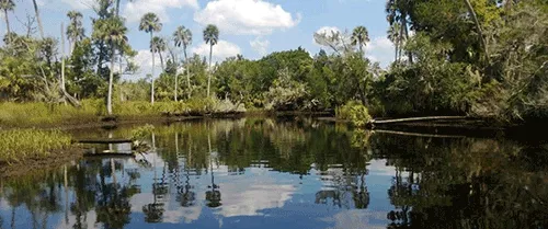
Our map covers all major visitor-accessible springs and many lesser-known gems, a little over 700 in total. Springs on strictly private property with no public access are not included. Florida's spring inventory evolves as new springs are documented and conditions change.
Can I use the Florida Springs map on my phone?
Yes ? our map is fully mobile-optimized for smartphones and tablets. We recommend saving favorite springs and screenshots of directions before your trip, as cell coverage can be limited in rural spring areas, particularly in the Ocala National Forest. Downloading an offline map of the area is a smart backup.
What information is shown for each spring on the map?
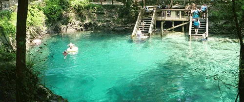
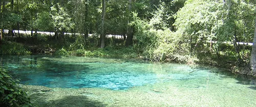
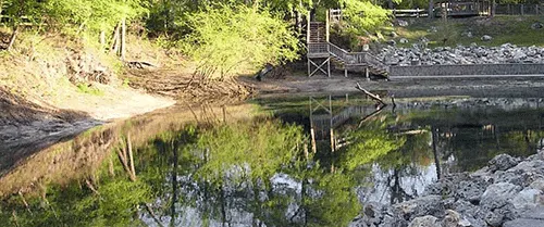
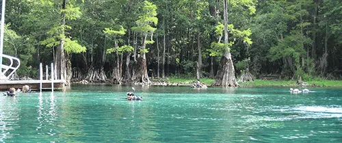
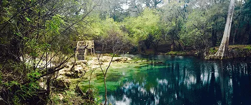
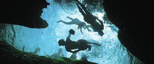
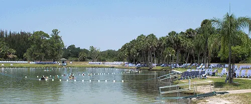
Each spring listing includes location and directions, spring magnitude type, available activities, facilities (restrooms, showers, picnic areas, camping) and weather.
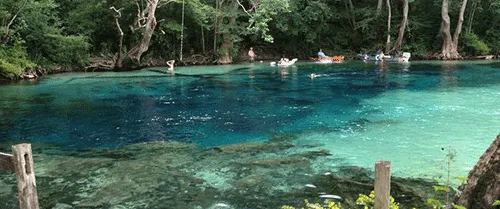
Are private springs included on the Florida Springs map?
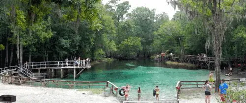
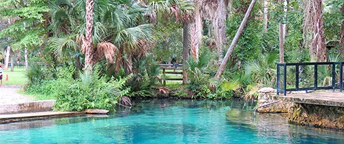
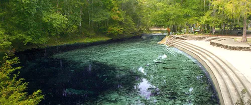
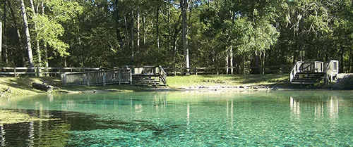
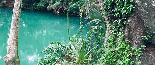
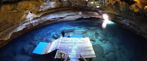
Well-known privately operated springs open to the public with paid admission ? like Ginnie Springs and Blue Grotto ? are included. Springs on strictly private property with no public access are not included.
How often is the Florida Springs map updated?
We review and update map listings regularly.